"Die grosse Englandkarte ,Nordfrankreich,Belgien,Holland" - 1940,1941
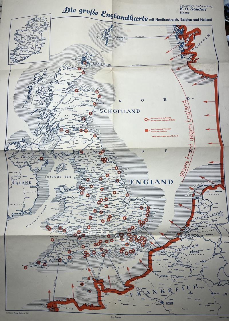
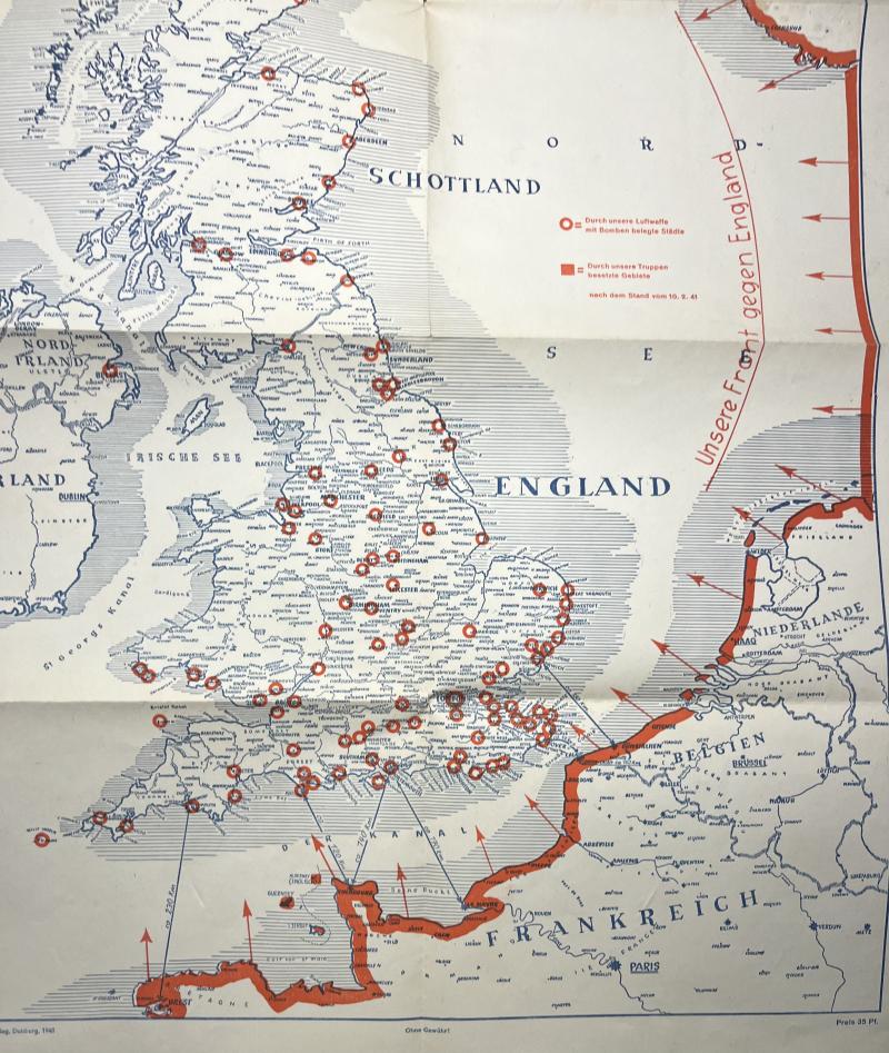
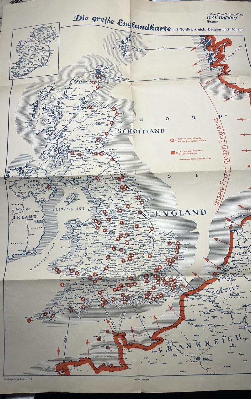
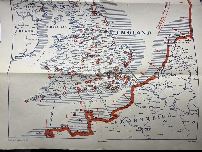
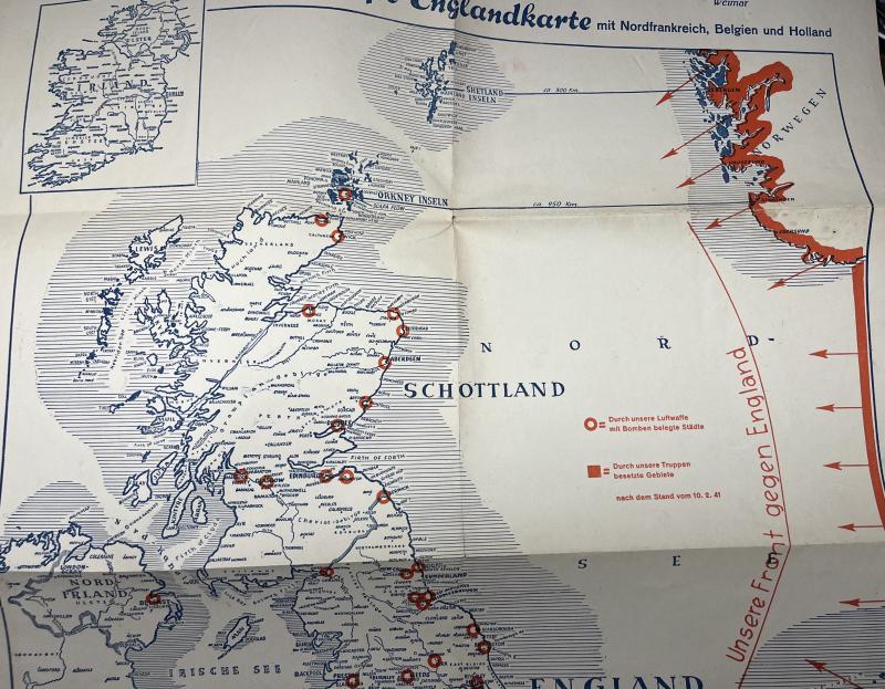
"Die grosse Englandkarte ,Nordfrankreich,Belgien und Holland"
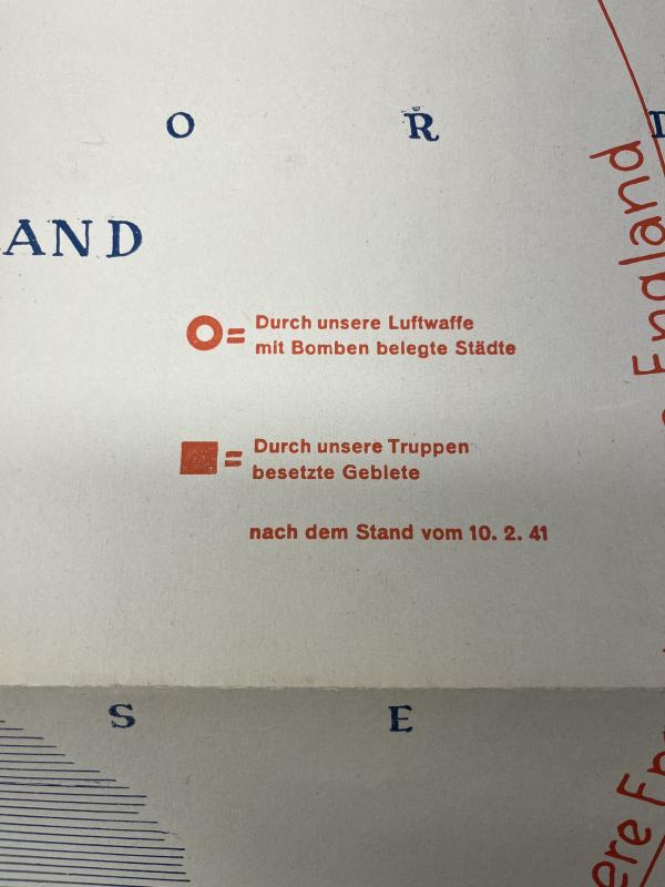
This map (61x87 cms.)was published by K.O.Gassdorf (Weimar/Germany) and shows the situation of the frontline towards the U.K. and the so far bombed cities
Code: 57027
95.00 EUR